
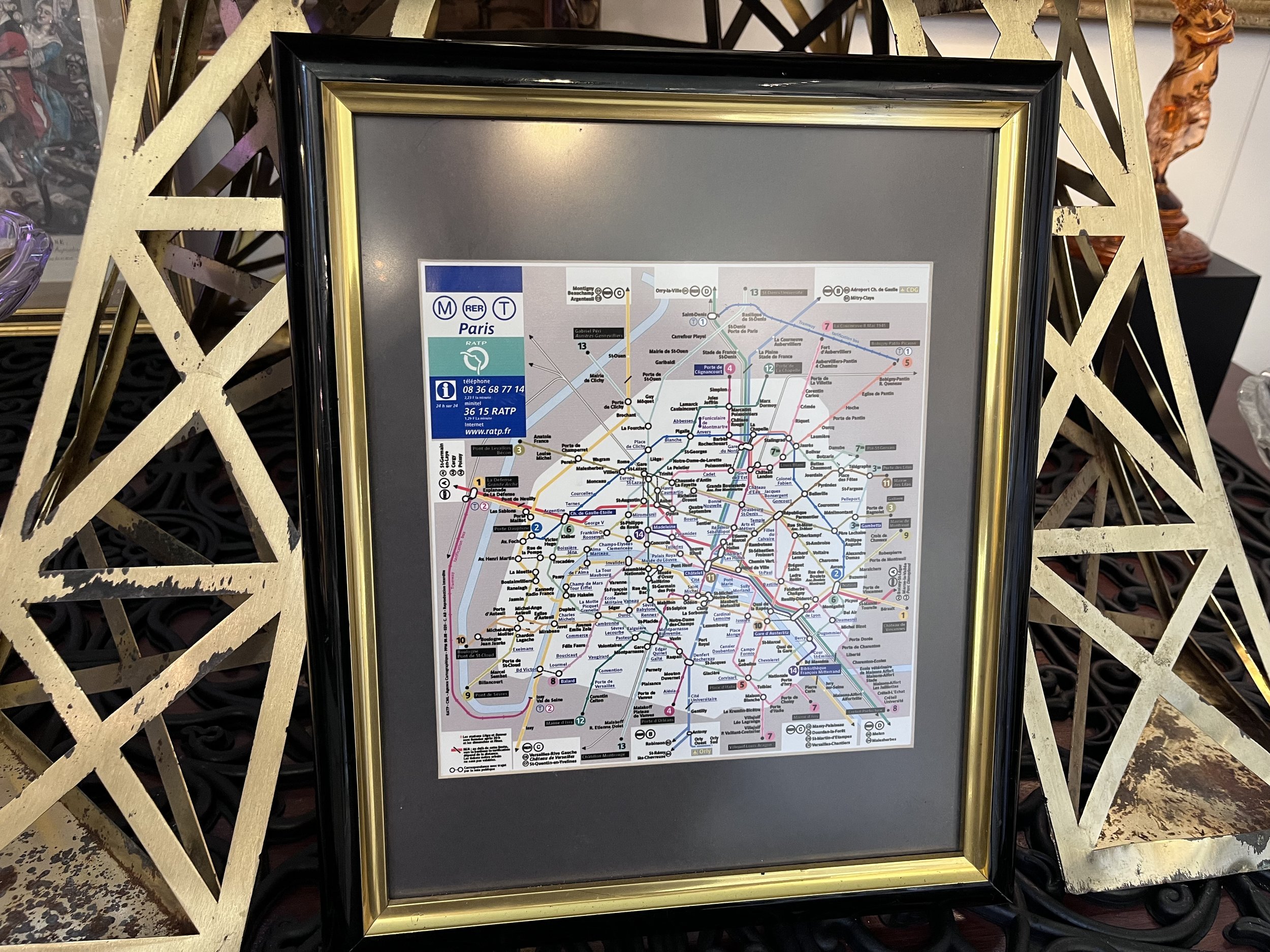

This is a framed map of the Paris Metro system.
Paris Metro maps have evolved from simple diagrams to intricate works of art, reflecting the city's growth and cultural identity. The first Metro line opened in 1900, and the system has expanded significantly since then, becoming an integral part of Parisian lite. These maps are not only functional but also serve as historical records, capturing the changing landscape of the city's transportation network.
To inquire about pricing and availability, please email BALL HILL The Arcade at info@ballhill.com.